Topography & Elevation
Gently undulating foothills rise to ridges at approximately 700 m asl, dissected by east-west and north-south fault-controlled valleys giving both scenic vistas and sheltered hollows
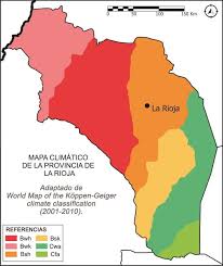
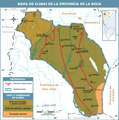
Climate
This semi-arid steppe climate receives under 400 mm of rain annually. Summers are hot (commonly > 35 °C) and humid, winters are short and dry (rarely below 0 °C), with mean annual highs of 25 °C and lows of 12 °C
Vegetation & Land Use
Natural vegetation is dense, thorny brush—ideal for low-intensity grazing (goats or sheep). Moderate slopes and drainage make the property suitable for ranching, eco-tourism or even renewable-energy installations


Gallery
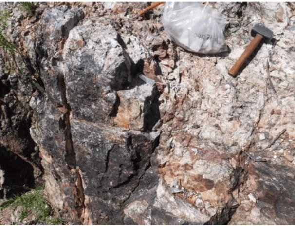
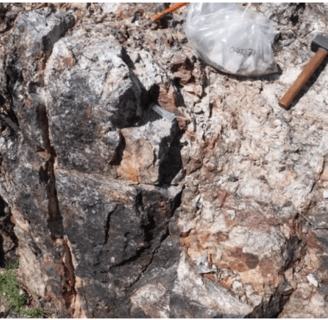
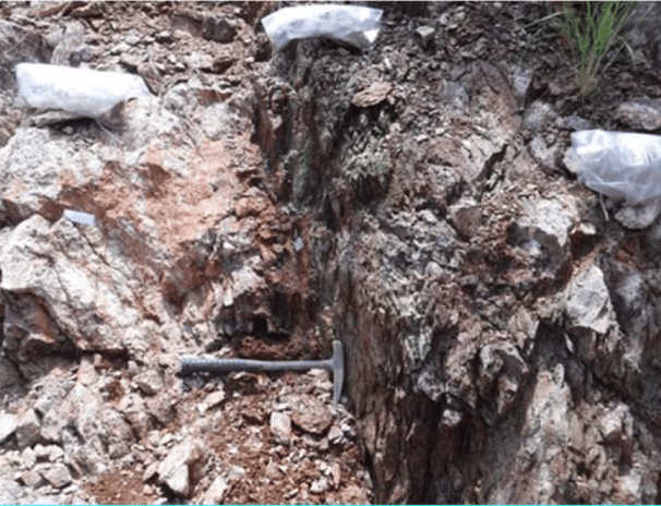
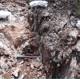
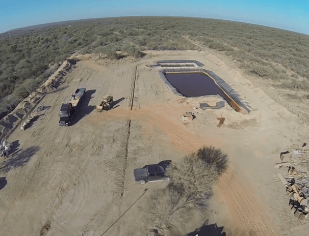
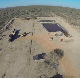
Explore our mineral concessions and rich mining history.
Location Overview
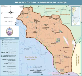
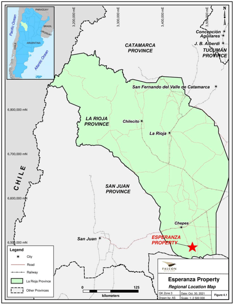
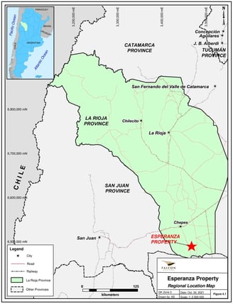
Esperanza property is located in Sierra de las Minas (SDLM), southern part of La Rioja Province, in the departamento Rosario Vera Peñaloza (Township), Argentina. The centre of the exploration area is approximately latitude 31º73'south, longitude 66º35’west (Gauss Kruger; Zone 3; Y: 6,490,150; X: 3,467,100). The area is in IGN map identification 21f Sierra de las Minas, and 21g Ulapes.
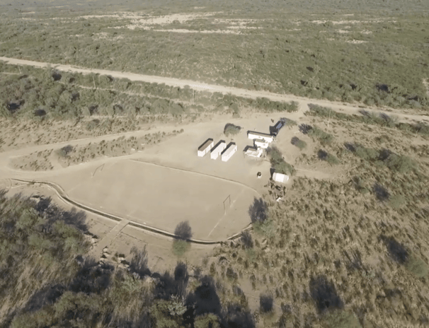
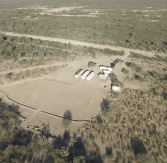
The closest city with the essential services is Chepes (55km), with an 11000 population (Figure 4.1). Chepes is on the main highway, approximately 240km east of San Juan's capital city, and 320km from La Rioja capital city. The property area has year-round access on gravel road south of Chepes. The nearest community is Totoral, 10km east of the project and 45km south of Chepes.
Accessibility
55km south-southeast of Chepes
Contact
Esperanza property is located in Sierra de las Minas (SDLM), southern part of La Rioja Province, in the departamento Rosario Vera Peñaloza (Township), Argentina.
info@esperanzamining.org
© 2025. All rights reserved.